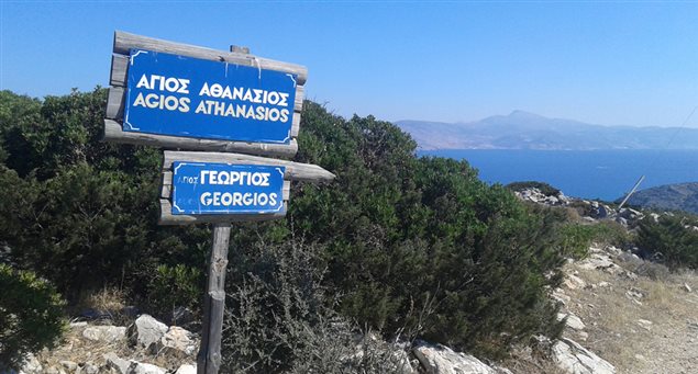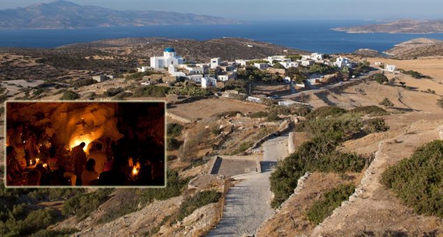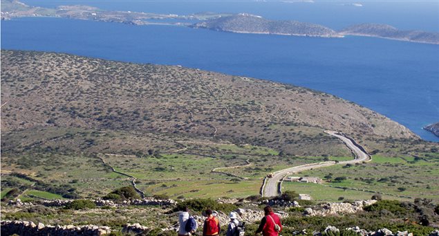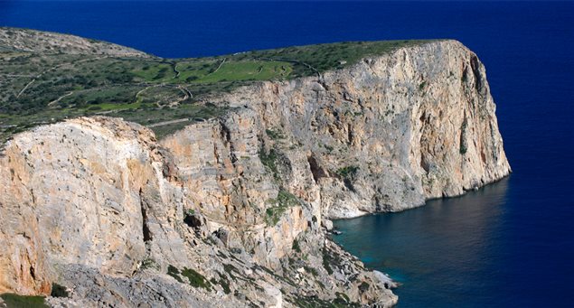
This 3km. route (about one hour) leads to the traditional settlement of Agios Athanassios via an old dirt road which crosses the small plain with the olive groves and seasonal farming produce. The now abandoned settlement features a particular architectural style while the chapel of the same name offers exceptional views.
| |
Iraklia | |
1hr |
| Length of route | 2,900m |
| Elevation data | Altitude of 15m at starting point and 165m at track’s end. |
| Grade of difficulty | Low |
| Starting point | Agios Georgios |
| Means of accessing starting point (public transport, taxi or private car) and parking info | Agios Georgios is the island’s port, from where the island’s asphalt road network begins. |
| End of route | Agios Athanassios. |
| Means of departing from end of route | Return route along the same track. |
| Suitable season | Entire year. |
| Main sights along route | Small plain with olive groves and seasonal farming produce, the abandoned settlement of particular architectural style at Agios Athanassios, chapel of the same name, exceptional views |


