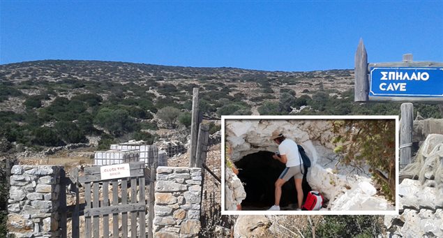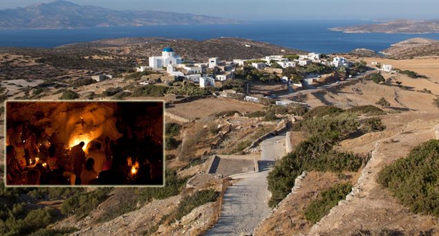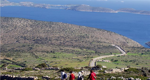
A 1,460m. trail (45 minutes) of moderate difficulty that takes you to the island’s hinterland. It starts at an elevation of 150m. and ends at 100m. Spot rare flora species on the way.
| |
Iraklia | |
45min |
| Length of route | 1,460m |
| Elevation data | Departure altitude: 150m Arrival altitude: 100m |
| Grade of difficulty | Medium |
| Starting point | Averou |
| Means of accessing starting point (public transport, taxi or private car) and parking info | Hiking. |
| End of route | Agios Ioannis cave. |
| Means of departing from end of route | Hiking from Panagia village. |
| Suitable season | All through the year. |
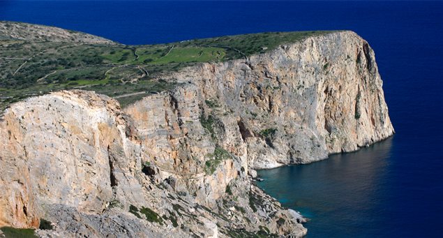
| Main sights along route | Wonderful view, unspoiled nature, rare flora. |


